Your Partner In Precision Agriculture
Soil Solutions
Machine Control
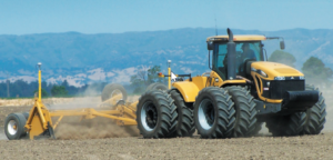
Being able to steer your farming equipment helps reduce operating costs and stress on the operator. It also increases your ability to produce more per acre by helping you utilize every inch of productive land in your field. Machine Control enables you to control not only your tractor, but the implements that you are pulling.
As-Applied Maps
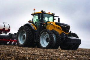
Geospatial documentation of application rates as they relate to seed, crop protection products, soil fertility products brings clear insight to efficiency. We provide you with the hardware to create these valuable maps.
Strategic Crop Plan
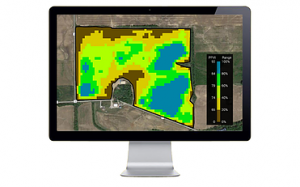
Considering all the variables that come in to play, Vantage Northwest carefully considers everything from the logistics to the economics of raising a crop. Most importantly we use a 10-step soil interpretation process to make our recommendations. Each plan is cross referenced by a quality assurance coach to ensure that each step is agronomically sound.
Productivity Zones
The REPORT CARD to show where the productive areas and your areas of concern are located within each field. This will help assist with crop planning for your future season.
Variable Rate Spreading With Trimble Field-IQ
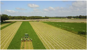
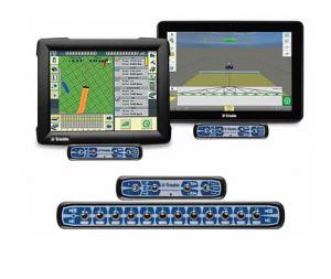
Using the Trimble Field-IQ system allows you to vary up to six different materials to precisely plant seeds, apply chemicals, and broadcast fertilizers.
-
Keep as-applied records of your inputs
-
Adjust your application manually or using a prescription
Soil Sampling SIS
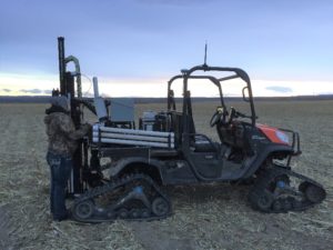
Soil Information System™ (SIS) solution is an industry-leading soil mapping technology that uses advanced sensors and intelligent targeting and geo-processing algorithms to produce high resolution, accurate soil and topographic information. By providing a greater understanding of the physical and chemical characterization of the soil, including how inputs move through the soil, SIS enables farmers’ trusted advisors to implement more effective solutions to resolve the unique challenges of each area of their fields. This information can be used to make critical farm management decisions with irrigation, drainage, fertility, and more
Field Leveling
The Trimble® FieldLevel™ II system provides a complete solution for surveying, designing, and leveling field surfaces to ensure optimal water management. It provides vast improvements in yields, water usage, and farm productivity. We can provide leveling systems with Lasers or by using GPS with Verticalpoint RTK.
